


Rose Tinted Valley
 |
| Gorgeous Göreme |
Today is quintessential Cappadocia from colourful balloons to rose-tinted valley, appropriately called Rose Valley. If you have come here straight from Istanbul
you will be blown way from complete chaos to sheer silence.
With tears we come to the last post on Cappadocia, the last of the Top 9 Sights near Göreme. You see Rose Valley from the distance everywhere – from Göreme, Sunset Point, even your hotel. Today we are going for a closer look. We recommend late afternoon to get nicer lighting. Also it will be very hot with little shade during midday during the summer.
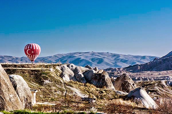 |
| Balloons for Breakfast |
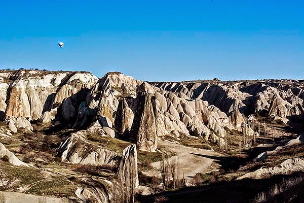
Balloons Over Cappadocia
Today was sunny and warm: I’m guessing ca. 20°C. We finally saw many hot air balloons this morning – about seven of them. We also saw a couple of late afternoon flights as well. I took the mandatory photos.
Çavuşin
 |
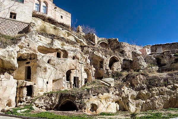
| Closing in on Çavuşin |
On the highway to Göreme Open Air Museum, turn left at a small sign (forget what it says) and go along a dirt road. Most people who are walking take the second road to the left that has no cars. But if you have a car it is easier to bypass the road walking and get into the heart of the valley by driving on the first road.
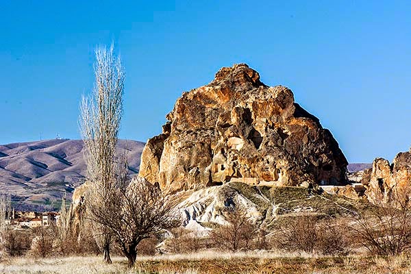 |
| Çavuşin Close-up |
If it’s still early in the day and you have a car then drive all the way to Çavuşin, which we highly recommend. There are some nice views of old troglodyte formations that you will not see from the main highway. If you go all the way, you enter the back streets of Çavuşin and eventually reach the highway. However, return half way back.
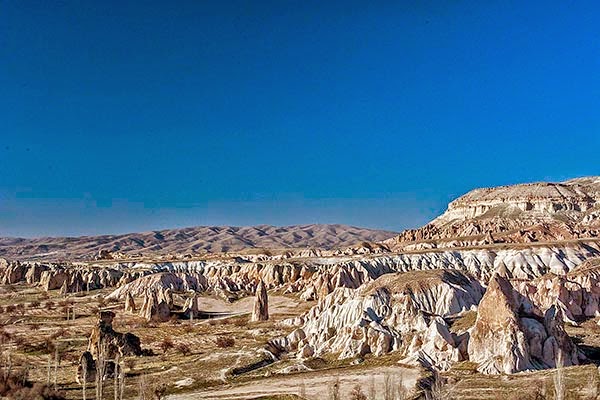
Rose Valley Hike
 |
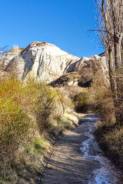
| "Parking Lot" View |
Rose Valley, or Güllüdere Vadisi in Turkish, is one of the best sights. Go about half way along this road and park in the huge "dirt" parking lot that is favoured by the dirt bikes that are rented in town. This is not something you can ignore even with your rose-tinted glasses. You really don’t want to hear this noise or see this dust in what should be a tranquil place of nature. It really is contrary to the purpose of a national park.
Near the top of the sloping uphill lot is a steep drop and thus dramatic views. Instead of playing daredevil, park earlier and hike up the right hand side onto a steep ridge walk.
Near the top of the sloping uphill lot is a steep drop and thus dramatic views. Instead of playing daredevil, park earlier and hike up the right hand side onto a steep ridge walk.
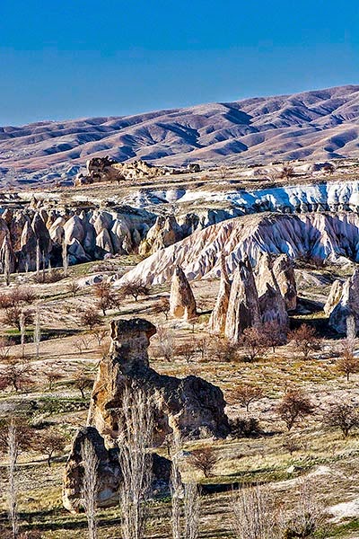
Bed of Roses
 |
| Kızılçukur View |
The path leads to the very steep Kızılçukur Point with luxurious views. It is a bit slippery (scree) at the very top. But this was one of my favourite views. From here there is about a 50 m elevation descent on the other side to the start of the Güllüdere trails.
 |
| Right Twin |
 |
| Left Twin |
It is hard to find a decent hiking map though there are several sites with advice, such as Captivating Cappadocia - Hiking. Probably the best map was given to us by the Vineyard Cave Hotel.
 |
| Güllüdere Trail |
 |
| Rose-tinted Valley |
 |
| Balloon and Roses |
 |
| Bed of Roses |
Everything’s Coming Up Roses
 |
| "Parking Lot" View |
 |
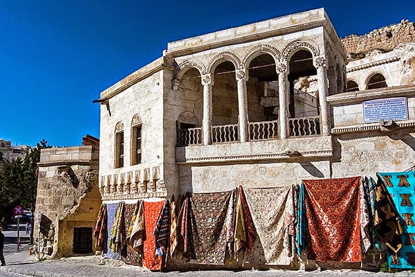
| Ottoman Yoruk |
Too bad we didn’t come 30 years ago. Then there were only about three hotels in Göreme according to Hassan of the Vineyard Cave Hotel. Where there are hotels today once stood orchards. This is a Tourist Town now. Right after breakfast we left for a seven hour drive to Safranbolu and Yoruk, two of our favourite places.
Last Post: Soganli Surprise